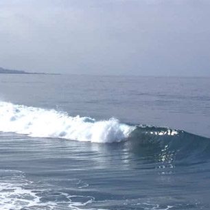
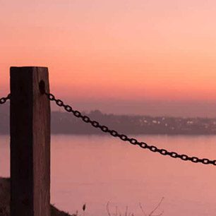


A couple of weeks ago, as I was riding my bike to work in the morning along the Pacific Beach waterfront path, I noticed that the tide waters reached all the way up to the path. I ride this path all the time and had never seen such a high tide here before so I was a little surprised by what I saw. Turns out that that morning was one of the highest tides of the year – something that is referred to as a King Tide.
King Tides (also known as perigean spring tides) are higher-than-normal, high tide events that happen when the moon is closest to the earth during a spring tide full moon. Like all tides, King Tides are a predictable part of the Earth’s lunar cycles. What is interesting about witnessing a Kind Tide, is that it offers us a glimpse of how our coastlines might look as sea levels continue to rise.
Just to be clear – climate change does not affect the Earth’s tides and a King Tide is not the result of sea level rise. But one thing that I have learned working on the issue of sea level rise, is that it is very hard for people to visualize what rising sea levels might mean for the coastal places they cherish. Researchers have already measured that sea levels along California’s coast have risen over the past century. The San Diego Foundation’s Regional Focus 2050 Study analyses showed that increases in sea level in San Diego could be at least 12-18 inches by 2050. But really, what does one extra inch of sea water really look like? So, when a higher than normal high tide occurs, we have a chance to capture a visual approximation of what the ‘new normal’ of our coastlines might look like.
Think of it like a marine Groundhog day – with the King Tide being a salty, wet Punxsutawney Phil, forecasting our climate future. And from February 16 – 18, you will have a chance to witness another King Tide. To capitalize on this opportunity, we are asking all of our awesome Coastkeeper members and volunteers to participate in an event called the King Tide Photo Initiative.
The King Tide Photo Initiative was started in British Columbia and has moved down the West Coast, including many parts of California. This year, Waterkeepers throughout California are encouraging their members to get out to their beaches and take some photos. Locally, Tijuana River NERR is spearheading the inaugural event for the San Diego area and Coastkeeper, along with other partners, is working to collect as many pictures as possible so we can build a catalogue of vulnerable coastal areas and gather compelling pictures of the potential impacts of sea level rise on our region.

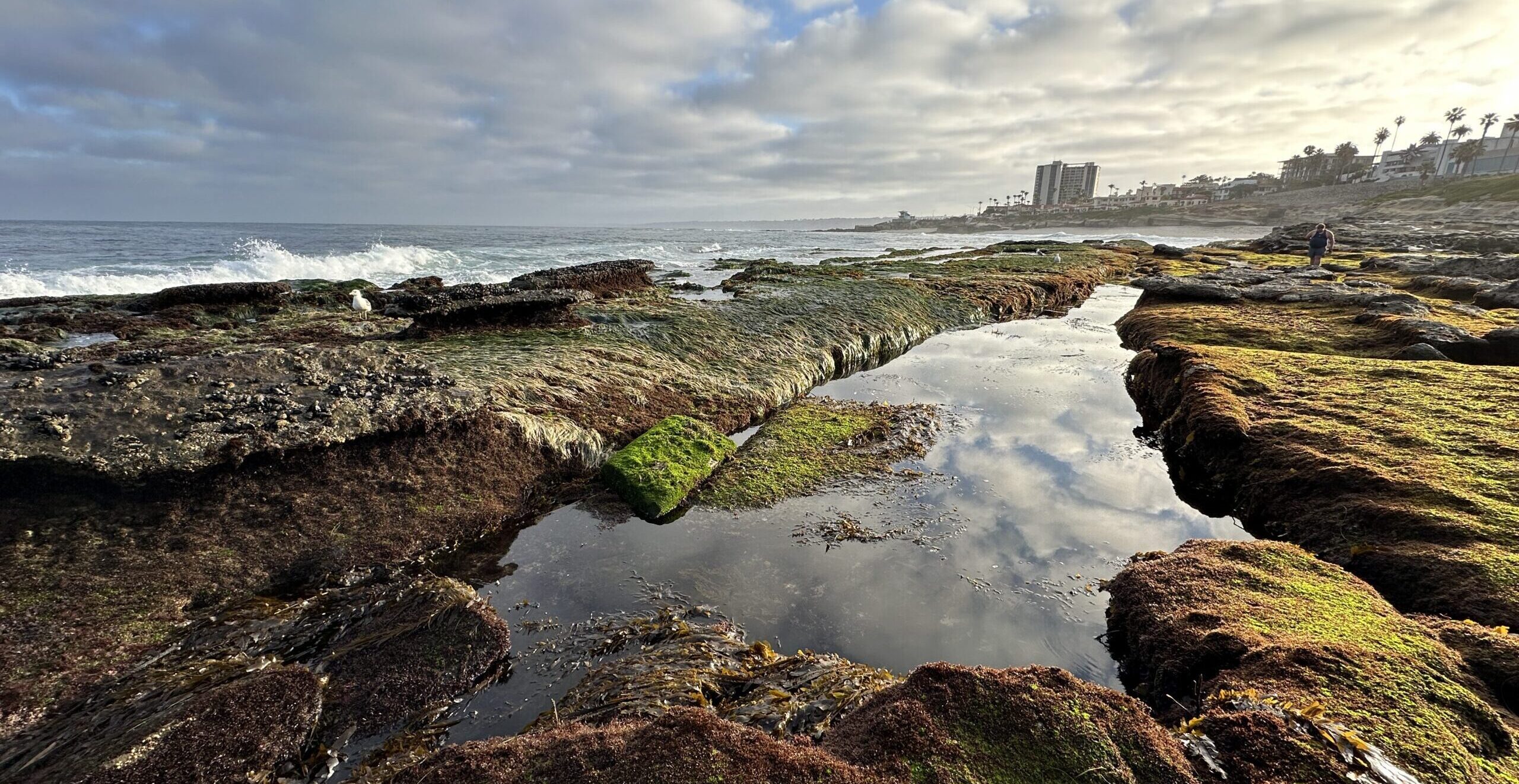
This is how it works: between February 16 – 18, at or near the peak of the high tide (check here for the tide predictions near you), go to your favorite beach, coastal, wetland, or area you think might be vulnerable; take a photograph, write down the place, the date, and the time (and the latitude and longitude if you can). Then submit your images and information to a Flickr site maintained by the Tijuana River NERR.
Now for the best part – you can win something too! The best photos will receive one of three prizes, including a San Diego Coastkeeper water bottle.
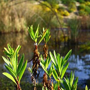
While we encourage you to take pictures at any coastal area you like, we are particularly interested in images from San Diego Bay to help inform the Sea Level Rise Adaptation Strategy for San Diego Bay. Images from vulnerable places like the Silver Strand, the South Bay Salt Ponds and the Chula Vista Waterfront would be greatly appreciated.
San Diego is already a center for the research and planning for climate change mitigation and adaptation. Driven by the combined efforts of the San Diego Foundation and their eye opening Regional Focus 2050 Study, to the recent initiation of the Sea Level Rise Adaptation Strategy for San Diego Bay (led by ICLEI-Local Governments for Sustainability, the San Diego Foundation and the Tijuana River National Estuarine Research Reserve (NERR)), researchers, planners, and environmental stakeholders have started to pull together the information we need to mitigate and adapt to climate change. San Diego Coastkeeper, in partnership with Dr. Gersberg at San Diego State University, has been actively engaged in communicating with local decision-makers and the public on how sea level rise might affect San Diego’s coastal habitats. The King Tide Photo Initiative is just one more action being taken to make San Diegans better understand what the future holds. So, grab your camera, get out to your favorite spot on San Diego’s beautiful coastline and send in your photos!