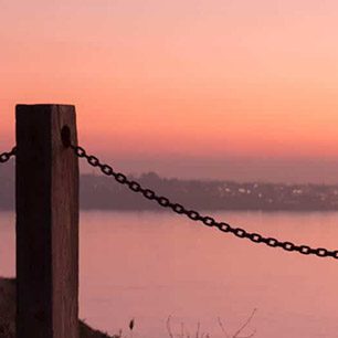
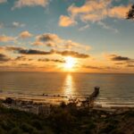


If you’ve been following our blog, you know we’ve been tracking the recent King Tides. This naturally-occurring phenomenon swept onto the California coast February 16-18, giving us a glimpse of what changes projected sea level rise could mean to San Diego homes, parks, businesses, and wildlife.
Evidently we weren’t the only ones who thought this was an interesting way to approach a complex issue. All kinds of media covered our initiative, from Channel 10 News to KPBS to a front page story in the Union Tribune. It was great to take reporters and staff of elected officials out on Clean Sweep to get an up-front look at the high tides.
Our photo initiative, to document key impacted coastal areas, was also big success. We’re still working on picking a winner for our photo contest, but you can check out the more than 200 photos uploaded to flickr. Here are a few of our early favorites:
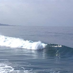
The view south from the Ocean Beach Pier. The proximity of the waves to apartment buildings and other structures is frightening here, and makes us ask the question, how are we preparing for actual sea level rise?
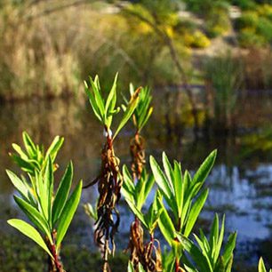
Joel Kramer’s shot of the San Elijo Lagoon inlet in Cardiff illustrates that transit and roads are also important factors to consider in adaptation discussions.
Anthony’s Fish Grotto, an iconic restaurant on San Diego Bay may be closer to the fish than ever as water levels rise.
Palm Ave. in Imperial Beach shows big tides bring big waves. Will our infrastructure stand up?
Terramar Beach, Carlsbad . Up and down the coast, recreation opportunities as well as structures may be impacted by sea level rise.
Some location, like Pescadero Street in Ocean Beach San Diego, are already impacted by waves.
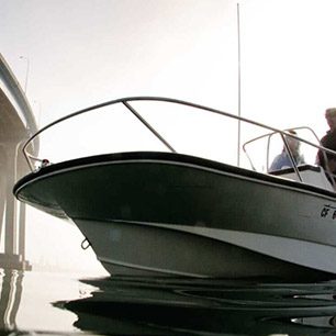
A public fishing pier in San Diego Bay under the shadow of a cruise ship.