


New Swim Guide also shares water quality at more than 300 beaches statewide
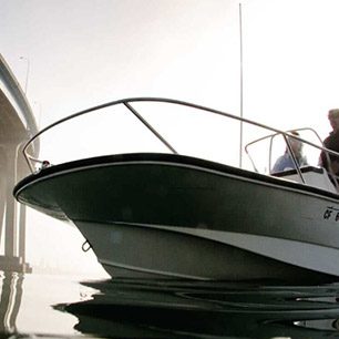
SAN DIEGO, May 30, 2012 – Today San Diego Coastkeeper launched San Diego County’s version of the interactive Swim Guide, an online and smart phone app to help beachgoers, swimmers, surfers and boaters find healthy stretches of sand and coastal waters along the region’s coastline. The new app also includes access to water quality data for more than 300 beaches in California and more than 1,300 beaches in North America.
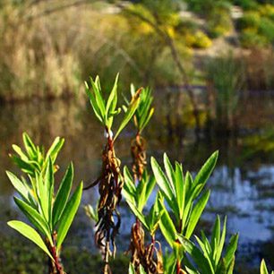
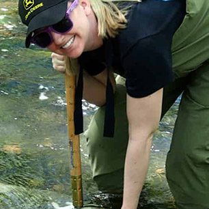
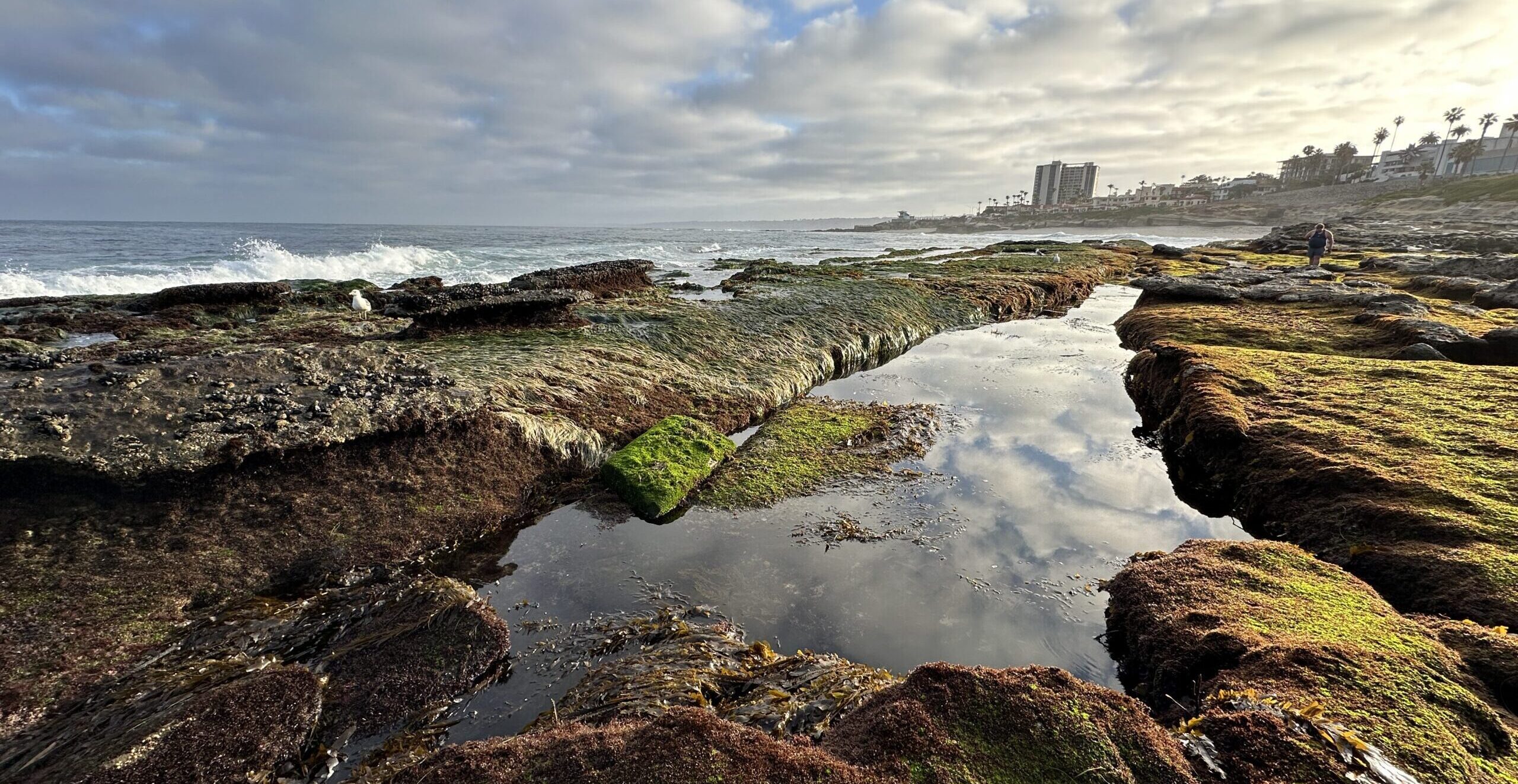
For several years, San Diego Coastkeeper has displayed water quality data in interactive maps for more than 80 beaches extending from Camp Pendleton to US/Mexico border. Coastkeeper receives daily beach status information from County of San Diego, Department of Environmental Health, which sometimes–but not always–posts warning signs at polluted beaches. Coastkeeper inputs the county’s data into an interactive map that digests beach status into easily understandable green, red and yellow color-coded formats. With the launch of Swim Guide, beachgoers can now access this information, as well as similar information at beaches across the nation and in Canada, on their smart phones.
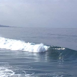
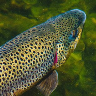
“Our economy and cultural identity depend on safe beaches in which we can swim, fish and play,” said Travis Pritchard, San Diego Coastkeeper’s water quality lab manager. “San Diego County beaches are generally pretty healthy, but when the county closes a beach due to a sewage spill or bacteria pollution–you want to know. With Swim Guide, it is easier than ever for beachgoers to know before they go into the ocean.”
Currently, Swim Guide is available from App Store, Google Play, or www.theswimguide.org, and San Diego County’s water quality data can also be viewed on San Diego Coastkeeper’s website at https://www.sdcoastkeeper.org/learn/swimmable/san-diego-water-quality/beach-advisories.html.
Provided and managed by member groups within the Waterkeeper Alliance, a network of 200 water protection groups worldwide, Swim Guide helps users get directions, view photos, learn about recreation options, and share the whole adventure with friends and family on their social networks. The guide also allows the user to report pollution immediately to their local Waterkeeper organization.
“Every year, millions of people get sick from coming into contact with polluted water at their local beaches,” said Pete Nichols, Western Director for the Waterkeeper Alliance. “The Swim Guide provides a free, easy to use, way for beach goers to find a beach where their families can swim and enjoy the beach safely.”
The app originates with a team from the Lake Ontario Waterkeeper, which set out to determine if it was safe to swim in Lake Ontario. Seven years later, with input from more than 100 different beach monitoring sources covering over 1,300 beaches a day and more than 128,000 points of data, people can now check the status and cleanliness of their local beaches in real time.
Swim Guide includes descriptions and photographs of nearly 1,300 beaches in California and across North America, including Miami, FL; Mobile, AL; the Great Lakes; British Columbia and Alberta. Swim Guide will continue to expand until it covers beaches in every major beach community in North America.
For more information on Swim Guide, visit www.theswimguide.org. For more information about San Diego County’s version of Swim Guide, visit localhost/sdcoastkeeper.
###
ABOUT SAN DIEGO COASTKEEPER: Founded in 1995, San Diego Coastkeeper protects and restores fishable, swimmable and drinkable waters in San Diego County. Learn more at https://www.sdcoastkeeper.org.