

Volunteer photography of highest tides to demonstrate potential impacts of sea level rise
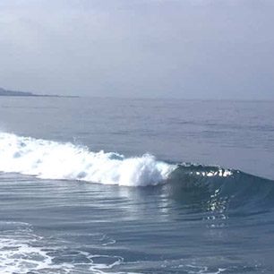
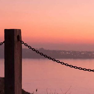
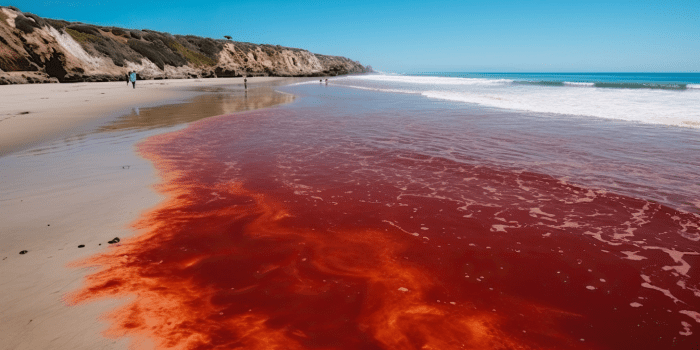
SAN DIEGO, Dec. 19, 2011 – This week, some of the year’s highest tides will breach California’s coastal and bay shorelines, providing a glimpse of what the state can expect as sea levels rise in the coming years. Local environmental organizations are working within a statewide initiative to have volunteers in San Diego County document this winter’s highest tides – known as “King Tides.” Local organizers are focused on capturing coastal images on Dec. 23 – 24, 2011, Jan. 20 – 22, 2012, and Feb. 6 – 8, 2012.
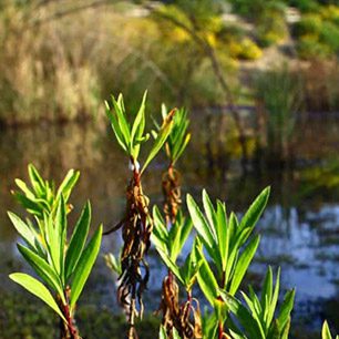
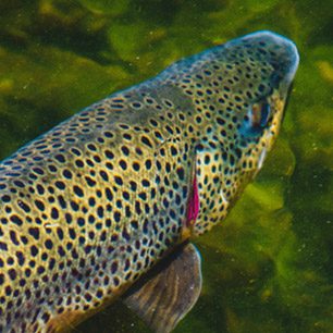
Last year, photos taken during some of the highest tides of the year documented impacts to private property, public infrastructure and wildlife habitat across the state. As a result, the California King Tides Initiative was launched in the winter of 2010/2011 by a partnership of organizations including the Tijuana River National Research Reserve, San Diego Coastkeeper, WiLDCOAST and Surfrider San Diego Chapter. Statewide, the organizations will use the photography to help policymakers visualize projected impacts from rising sea levels and take action to protect key infrastructure as well as wetlands, beaches and public access to the coast. The Initiative can engage Californians in a conversation about the future of coastal areas, identify and catalog coastal areas that are currently vulnerable to tidal inundation and build an online resource of images that can be used by everyone to communicate about coastal hazards.
“King tides demonstrate the power of visualization and give us a rare chance to see how higher sea levels and increased storm intensity could change our shoreline and impact our resources,” says Kristen Goodrich, Coastal Training Program Coordinator at the Tijuana River National Estuarine Research Reserve. “One common sense approach to adapting to climate change impacts is to restore and protect wetlands, which function like natural sponges, buffering against rising sea levels, higher tides and increased storm and wave activity.”
According to The San Diego Foundation’s Regional Focus 2050 Study, which included contributions from more than 40 multi-disciplinary experts from regional universities, local governments, public sector agencies, nonprofits and private sector organizations, increases in sea level in San Diego could be 12 – 18 inches by 2050. Tides during King Tide events are typically five to eight inches above normal, providing a glimpse of San Diego’s future.
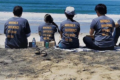
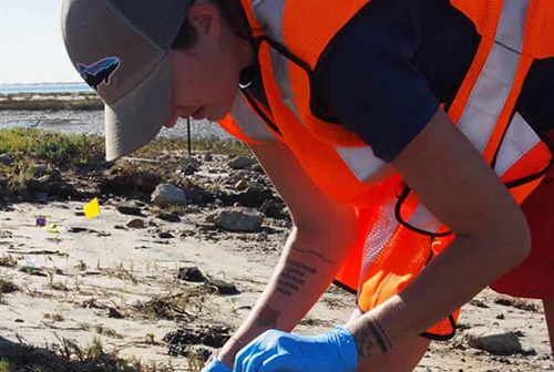
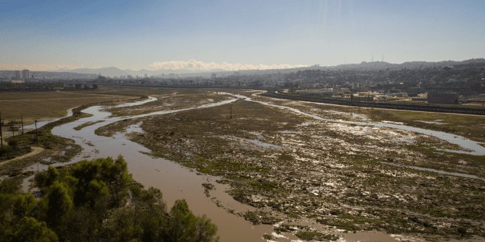
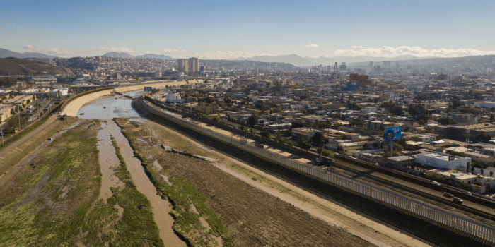
To help document the potential impacts of rising sea levels, local groups are calling on residents to submit photos taken during high tides of areas known to flood and areas where high water levels can be gauged against sea walls, jetties, bridge supports or dikes. The photos – especially before and after shots – will help to identify and catalog coastal areas vulnerable to tidal inundation and to promote awareness of the potential impacts of sea level rise. Last year, the witnesses of the King Tides took over 300 photos.
Residents are encouraged to get out their cameras and upload images, along with their contact information, photo location, orientation and date and time of day, directly to the CA King Tides Flickr group.
Media can arrange a personal tour from shore and get more information by contacting Kristen Goodrich ([email protected], 619-575-3613 x314) at TRNERR. Residents can learn more about the King Tides and the photography submission guidelines by visiting www.californiakingtides.org.
###
About National Estuarine Research Reserve System
The National Estuarine Research Reserve System (NERRS) is a network of protected areas established for long-term research, education, training, and stewardship. Through a partnership between the National Oceanic and Atmospheric Administration, California State Parks, and Southwest Wetlands Interpretive Association, the Tijuana River NERR plays a critical role in sustaining southern California’s estuaries and coastal communities. There are currently 28 Reserves located throughout the United States, comprising more than one million acres of estuarine land and water and are established to improve our understanding and management of estuaries. For more information, visit www.trnerr.org.
About San Diego Coastkeeper
Founded in 1995, San Diego Coastkeeper protects the region’s inland and coastal waters for the communities and wildlife that depend on them by blending education, community empowerment, and advocacy. For more information, https://www.sdcoastkeeper.org