
This is part 2 of a 5 part series of results from our water monitoring lab. If you haven’t read our watershed report, head over here and check it out. In this second part, we are going to take a look at the Los Peñasuitos lagoon.
Water Quality Data Supports Restoration of Los Peñasquitos
 The Los Peñasquitos watershed comprise two separate and distinct drainages: the Los Peñasquitos Creek watershed, which drains into the Los Peñasquitos lagoon and the Mission Bay watershed, which drains into Mission Bay. The combined watershed lies almost entirely west of Interstate 15, and comprises a rough triangle between parts of Del Mar, Mission Bay and Poway.
For the 2009 – 2010 dataset, Los Peñasquitos watershed received a score of “Good” on our water quality index. This does not mean, however, that the watershed is healthy. Our scoring system is not comprehensive, it only looks at what we measure in the water monitoring program. Factors other than chemistry play a part in watershed health. Let’s take a look at the problem’s Los Peñasquitos faces.
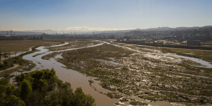
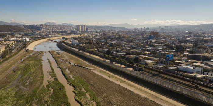
The story of Los Peñasquitos’s water quality problems is a story of rapid development. Take a look at these two aerial satellite shots. The top is from 1994, and the bottom is from 2010:
From 1973 to 2000, runoff into the creek increased by 200% , or about four percent per year. This water picks up pollutants such as nutrients from fertilizer and metals from road surfaces as it flows across the developed areas. In this watershed, dry weather urban runoff (overwatering, for example) increases the total nitrogen, total phosphorus and fecal indicator bacteria problems in the creeks.
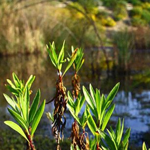
Excessive sediments in the creek are a major problem for the Los Peñasquitos Lagoon. The deposition and build up of sediments into the lagoon alters the natural exchange of freshwater and seawater. This has led to the destruction of sensitive saltmarsh habitat. As a result of this habitat degradation, invasive plants and animals are replacing the sensitive native flora and fauna of the lagoon.
The Regional Water Quality Control Board has just finished up the cleanup plan for this sedimentation. Pre-1970’s levels of sedimentation will increase the amount of saltwater marsh habitat. It won’t be a quick process, however. the sediment reduction is scheduled to happen in the next 10 years.
This watershed highlights the need to consider water quality issues on a watershed basis. The increasingly rapid sedimentation of the lagoon is driven in a large part by land use decisions. The vast majority of our urban runoff pollution comes from upland areas. Water quality improvements will happen if we take a holistic, watershed view of water protection. Read more about how Jill and our brilliant student attorneys are starting this process with the new stormwater permits.