
Over the last four years, I have, on occasion, felt like a small little Who down in Whoville shouting from the top of my desktop to the world around me that I believe California needs marine protected areas. When enough other Whos joined in with the shouting, our message was heard loud and clear. And now, thanks to the landmark decision by the California Fish and Game Commission on Dec. 15, 2010, the south coast of Cali has a bright, shiny new network of MPAs.
And now you may be pondering: what happens next? Well curious cookie, I will tell you what I know. Right now, while you are at the laundromat reading this blog on your iphone, the newly adopted MPA regulations are going through their last spin on the administrative proof-reading cycle. Soon they will get passed over to the appropriate desk in the Office of Administrative Law for approval before they actually go into effect, which is expected sometime in 2011.
Translation: We know where the new MPAs are going to be (check out the map here), but the new rules aren’t officially in place yet, so for now fishing is still allowed in all the spots that will be legally protected later this year.
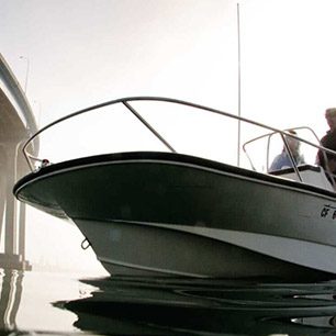
And how will you and I know where the boundaries are? To start, the MPAs begin and end at easily-recognized landmarks (for example, the new south La Jolla MPA goes from Palomar Street down to Missouri Street). Boundary coordinates will be incorporated into boating GPS systems and on navigation maps. I’m certain we will see some lovely, permanent signage pop up in the near future around the actual MPAs, and you can always find the information on the internet – like Coastkeeper’s website and the Department of Fish and Game’s site.
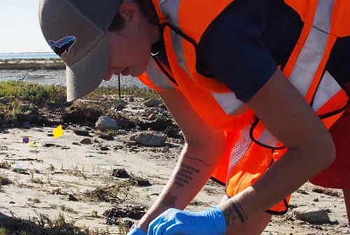
There is also a whole component of monitoring and enforcing these gems. It will be the Department of Fish and Game’s responsibility to enforce the new regulations on the water, though the MPAs were strategically placed near city, state and national parks and beaches so land-based staff (like lifeguards) can help with monitoring and community education. But we’re also counting on the fishing community to continue its longstanding heritage of respecting fishing regulations, which will ease the responsibility of enforcement.
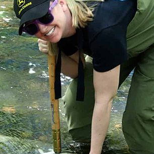
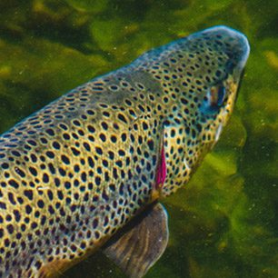
An entity called the Marine Protected Area Monitoring Enterprise is leading a consultative process to develop an efficient, cost-effective South Coast MPA Monitoring Plan. They are working with a variety or groups on the best ways to assess the performance of the MPAs – checking the state of the marine ecosystems over time, to see how wildlife improves or changes.
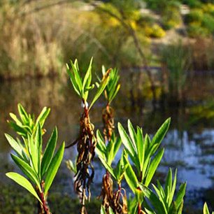
Of course, collaborative stewardship is the most essential ingredient to successful monitoring and enforcement. Scripps Institution of Oceanography, NOAA, Bureau of Land Management and National Parks Service have already stepped up to help with research, education, outreach and compliance. Many of the aquaria have exhibits or displays on MPAs for public education. And the Orange County Marine Protected Areas Committee is a good example of government and community groups working together on ocean protection – fear not, we are already working on establishing similar groups here in San Diego.
Yes, there is still a lot to come. And yes, we should still be celebrating what we have accomplished together! You are the reason there will be marine wildlife for a long, long time.